avmap home banner
Miglioriamo la mobilità con elettronica intelligente e servizi telematici innovativi.
Pionieri della tecnologia GPS dal 1994.
We are hiring

I nostri Marchi
I NOSTRI MARCHI
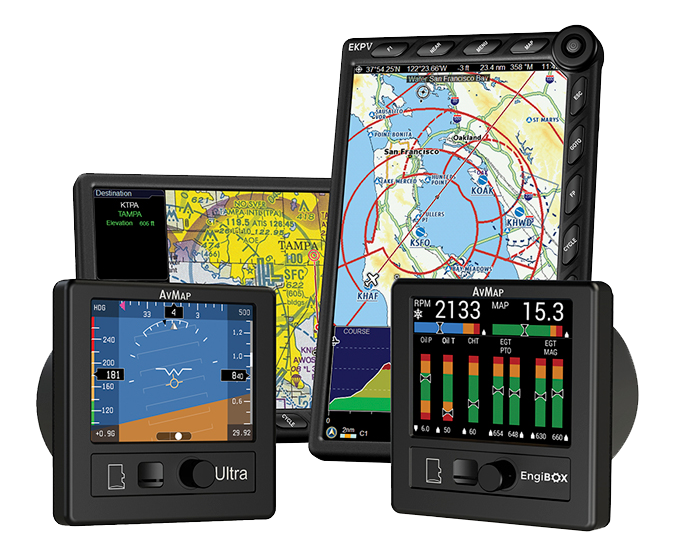
Brands: AvMap Avionics
 |
|
|
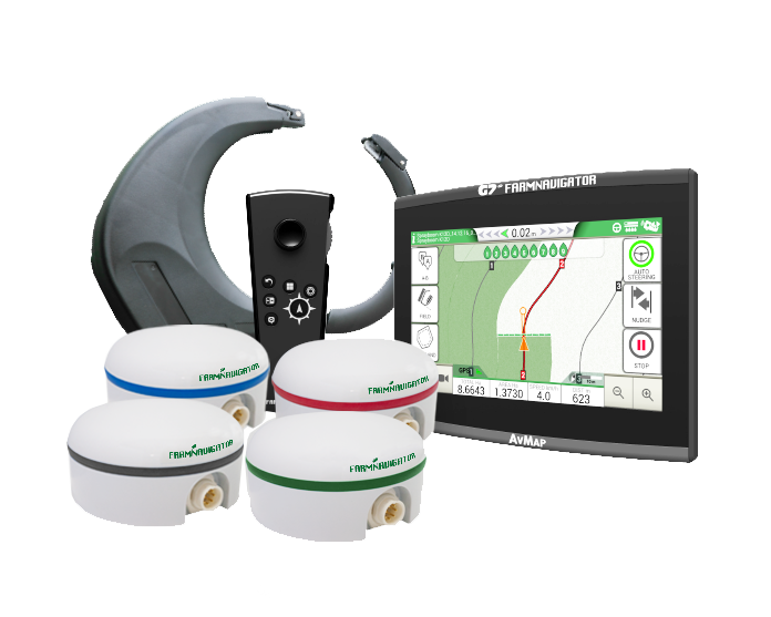
Brands: Farmnavigator
 |
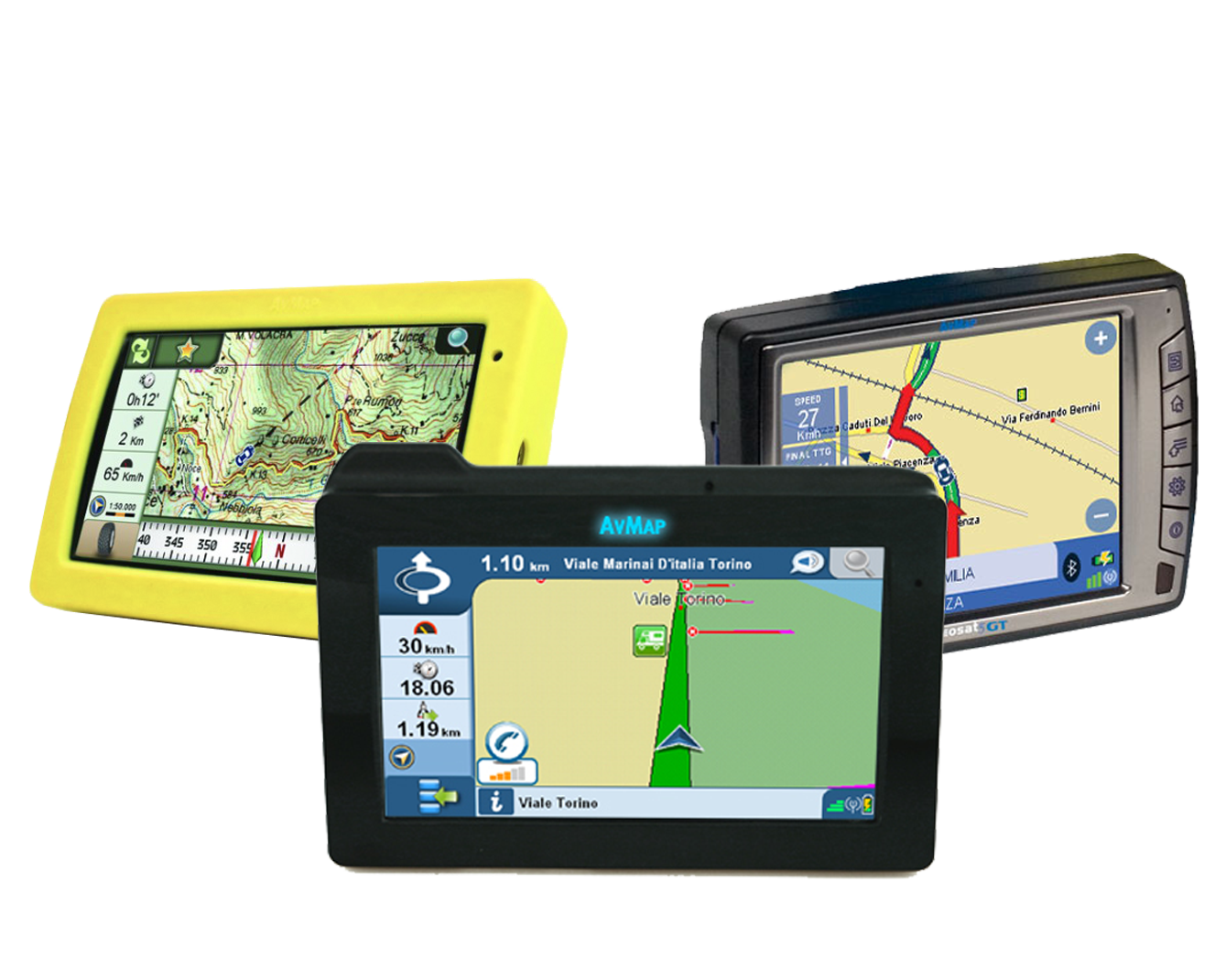
Brands: AvMap Geosat
 |
|
|
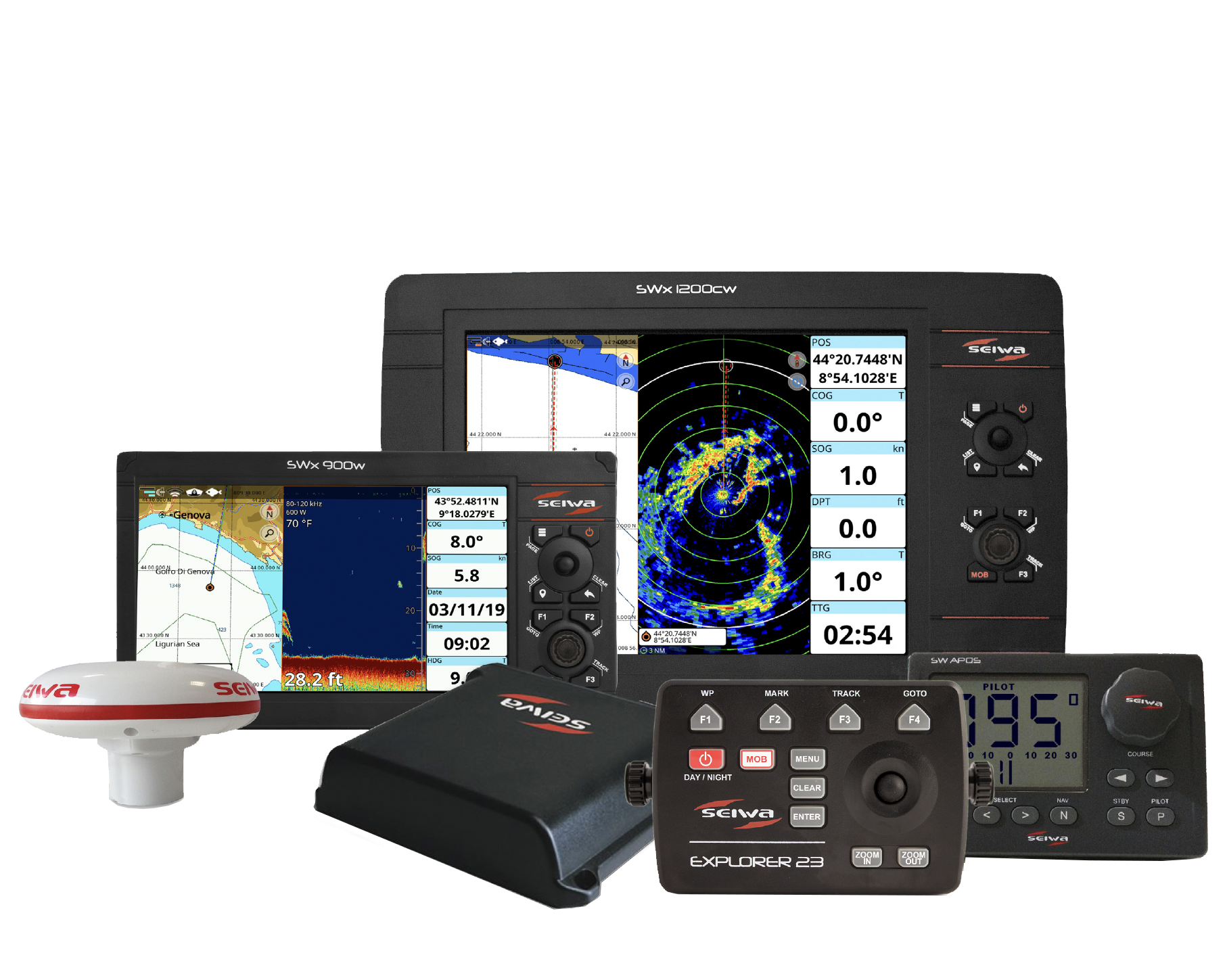
Brands: SEIWA
 |
|
|
Avionics
|


Intelligent Agriculture
|
Automotive Industry
|


Telematics
|
Marine Electronics
Electtronica Marina
|
